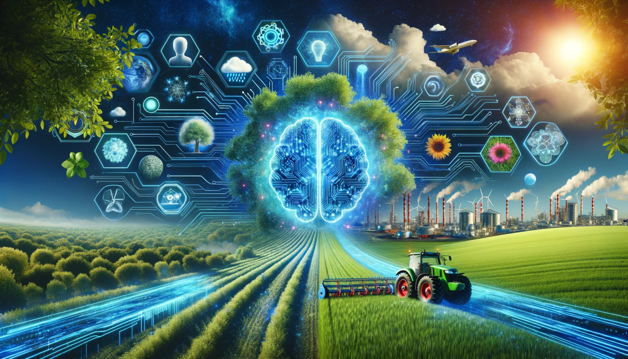
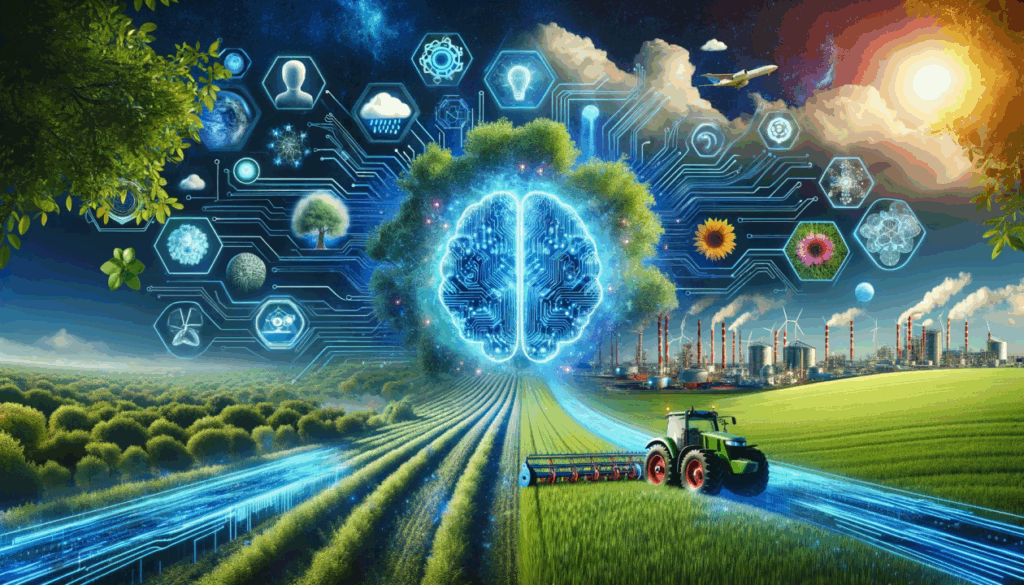
How AI Verifies Environmental Images in a Digital Era
ln the age of digital communication, images and videos have become the most powerful tools of storytelling. From wildfires in the Amazon to floods in Asia, environmental issues are often shared widely on social media platforms. However, this speed of sharing also comes with a risk: the spread of misinformation. Photos taken years ago or in completely different countries can be recycled and presented as evidence of current crises. This is where environmental AI geolocation fact-checking steps in as a crucial innovation.
Environmental AI geolocation fact-checking is the process of using artificial intelligence to determine the exact location where a photo or video was taken. By analyzing natural and human-made features in the background—such as trees, mountains, rivers, houses, or even the position of the sun—AI tools can cross-reference this data with satellite imagery and global databases.
For example, an image of dried farmland may be posted as proof of drought in Rwanda. AI-powered tools can compare that image with satellite data and discover that it actually came from northern Kenya years earlier. Such verification prevents misinformation from shaping public opinion or policy debates.
Dr. Amina Hassan, a climate researcher at the University of Nairobi, explains:
“Geolocation fact-checking powered by AI is like a truth filter for the environment. It helps us separate real climate emergencies from recycled or manipulated images that can mislead the public.”
The urgency of the climate crisis makes reliable information more valuable than ever. Governments, journalists, and communities rely on accurate reporting to plan interventions, allocate resources, and advocate for global climate action. False claims not only mislead the public but can also damage trust in environmental science and activism.
AI geolocation helps:
- Journalists, by providing evidence-based reporting on natural disasters.
- Researchers, by ensuring scientific studies are built on verified data.
- Policymakers, by giving them credible information for decision-making.
- Communities, by protecting them from panic or manipulation caused by misleading images.
According to James Okello, a fact-checker with the African Centre for Media Integrity:
“We have seen countless viral photos claiming to show African droughts or floods that were actually taken in other countries. AI tools now give us a way to stop such misinformation before it spreads too far.”
- Image Analysis – AI scans the visual details of a photo or video, identifying vegetation types, architectural styles, weather patterns, and even shadow positions.Cross-Referencing – The system compares these details with large satellite imagery databases such as Google Earth, NASA data, or specialized climate archives.
- Pattern Recognition – Advanced machine learning models detect unique environmental signatures, like the shape of mountain ridges or river paths.
Verification – The AI provides a confidence score, indicating how likely the image matches a specific location.
Some tools can even detect if an image has been digitally manipulated, ensuring a higher level of credibility.
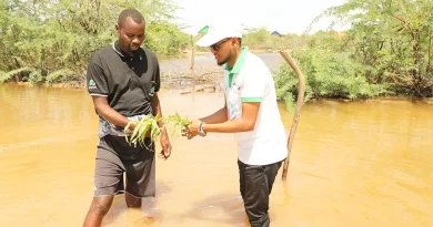
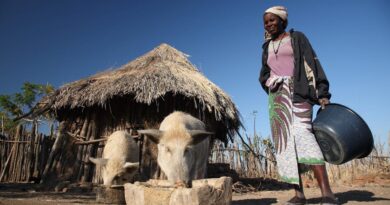
In May 2023, Rwanda experienced severe floods and landslides that left dozens dead and thousands displaced, particularly in the Western and Northern provinces. As the tragedy unfolded, social media was flooded with images claiming to show the devastation. However, fact-checkers quickly discovered that several widely shared photos were not from Rwanda at all—they originated from flood disasters in West Africa and Asia years earlier.
If environmental AI geolocation fact-checking tools had been fully deployed, they could have instantly flagged these misleading images, protecting both the public and humanitarian responders from confusion.
journalist Marie Claire Uwase, who reported on the floods, noted:
“We wasted time verifying photos that were circulating online. Some even exaggerated the situation, causing unnecessary panic. With AI geolocation, journalists in Rwanda could focus on reporting the reality on the ground instead of chasing false leads.”
This example shows how Rwanda—and Africa more broadly—could benefit from integrating AI verification into environmental communication systems.
Environmental AI geolocation fact-checking is already being used globally. Fact-checking organizations use it to debunk viral hoaxes about climate disasters. Humanitarian agencies rely on it to confirm the scale of environmental damage before sending aid. Researchers are exploring its use in monitoring deforestation, illegal mining, and wildlife trafficking.
Professor Elena Morales, an environmental data scientist based in Spain, notes:
“During the Australian bushfires, AI verification allowed us to reassure the public and focus on real-time solutions rather than being distracted by fake or outdated imagery.”
While the technology is promising, it faces challenges such as access to high-quality satellite imagery, the need for advanced computing power, and ethical concerns around data privacy. However, as AI systems become more sophisticated and accessible, their role in environmental communication will only grow.
Looking ahead, integrating geolocation fact-checking into social media platforms could automatically flag misleading images before they go viral. Partnerships between tech companies, media outlets, and environmental organizations may also create stronger defenses against misinformation.
Environmental AI geolocation fact-checking is more than just a technological innovation—it is a defense of truth in the fight against climate misinformation. By combining artificial intelligence with satellite imagery and data science, it ensures that global conversations about the planet are based on facts, not fabrications.
As the world—and Rwanda—grapple with urgent environmental challenges, truth is one of the most powerful tools we have. AI geolocation fact-checking is helping us protect that truth, making sure that our actions for the planet are guided by reality, not rumors
By:Florence Uwamaliya
![]()